Contact Us
Details
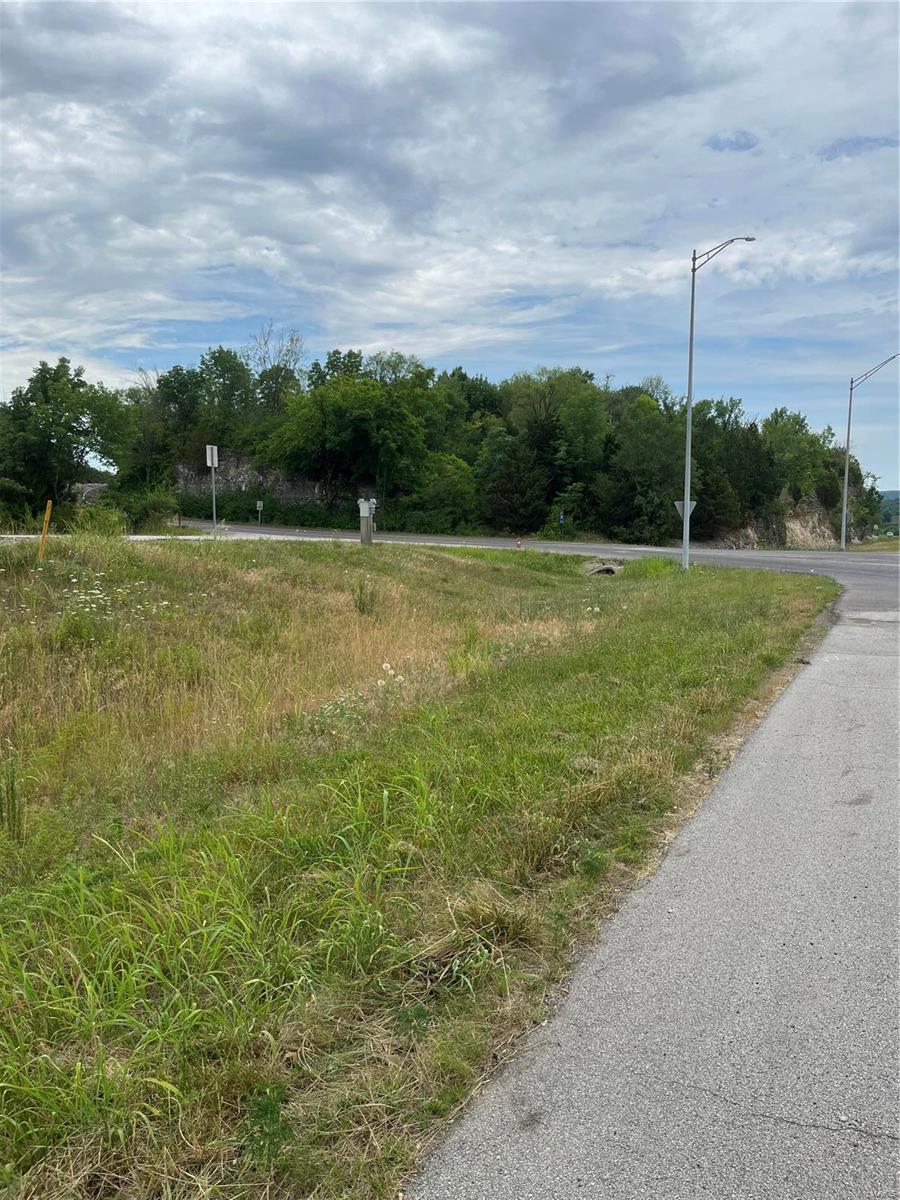
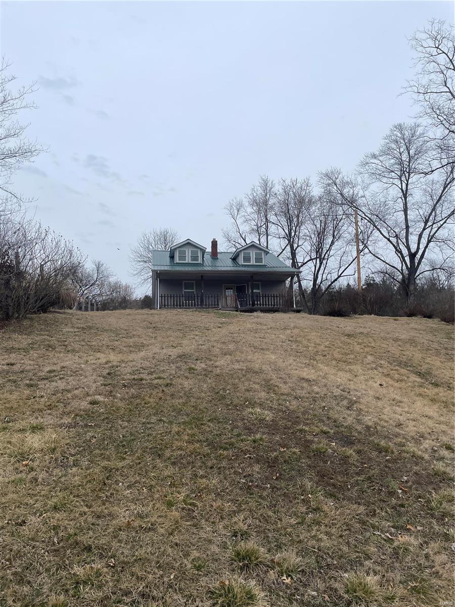
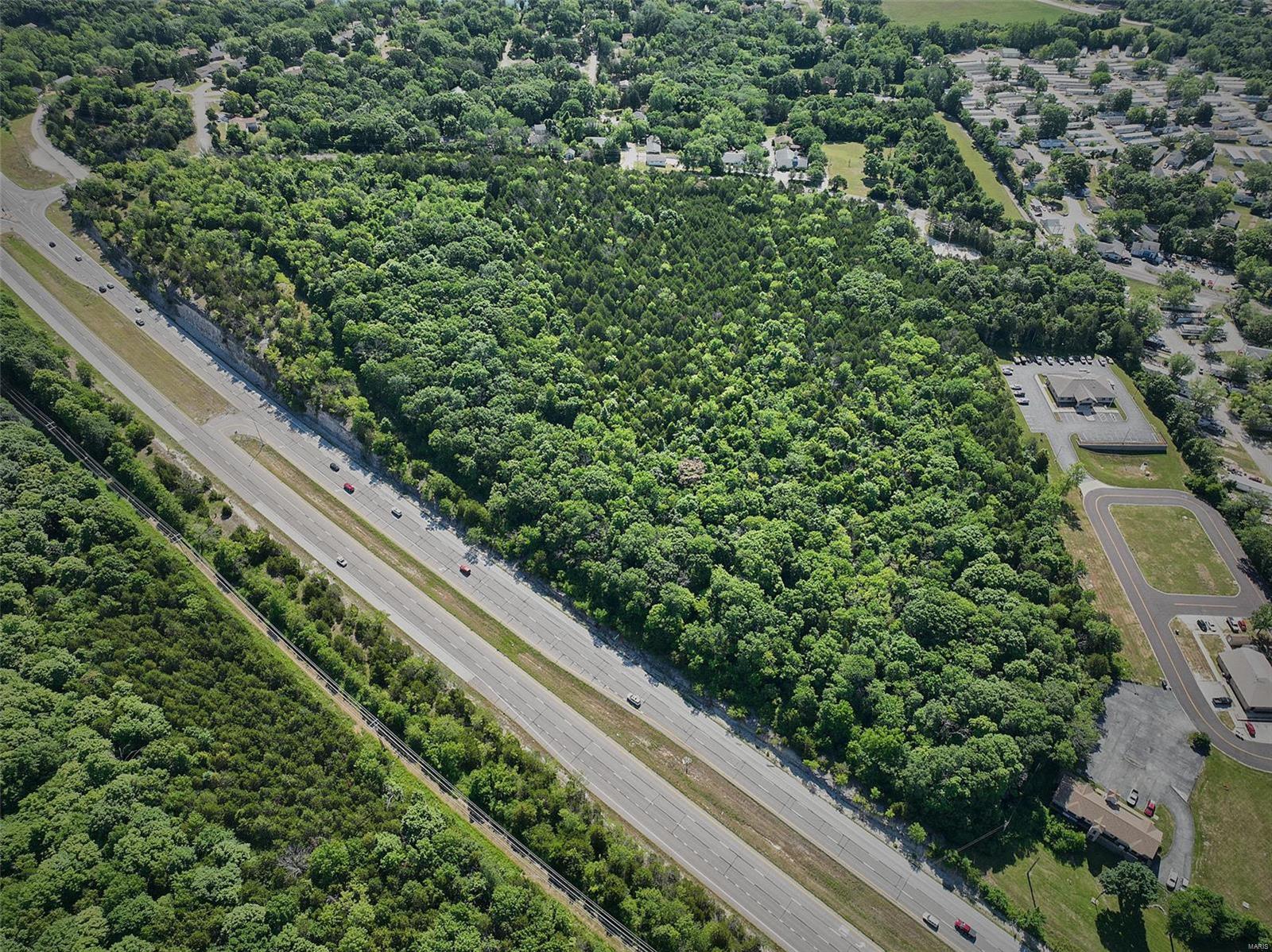
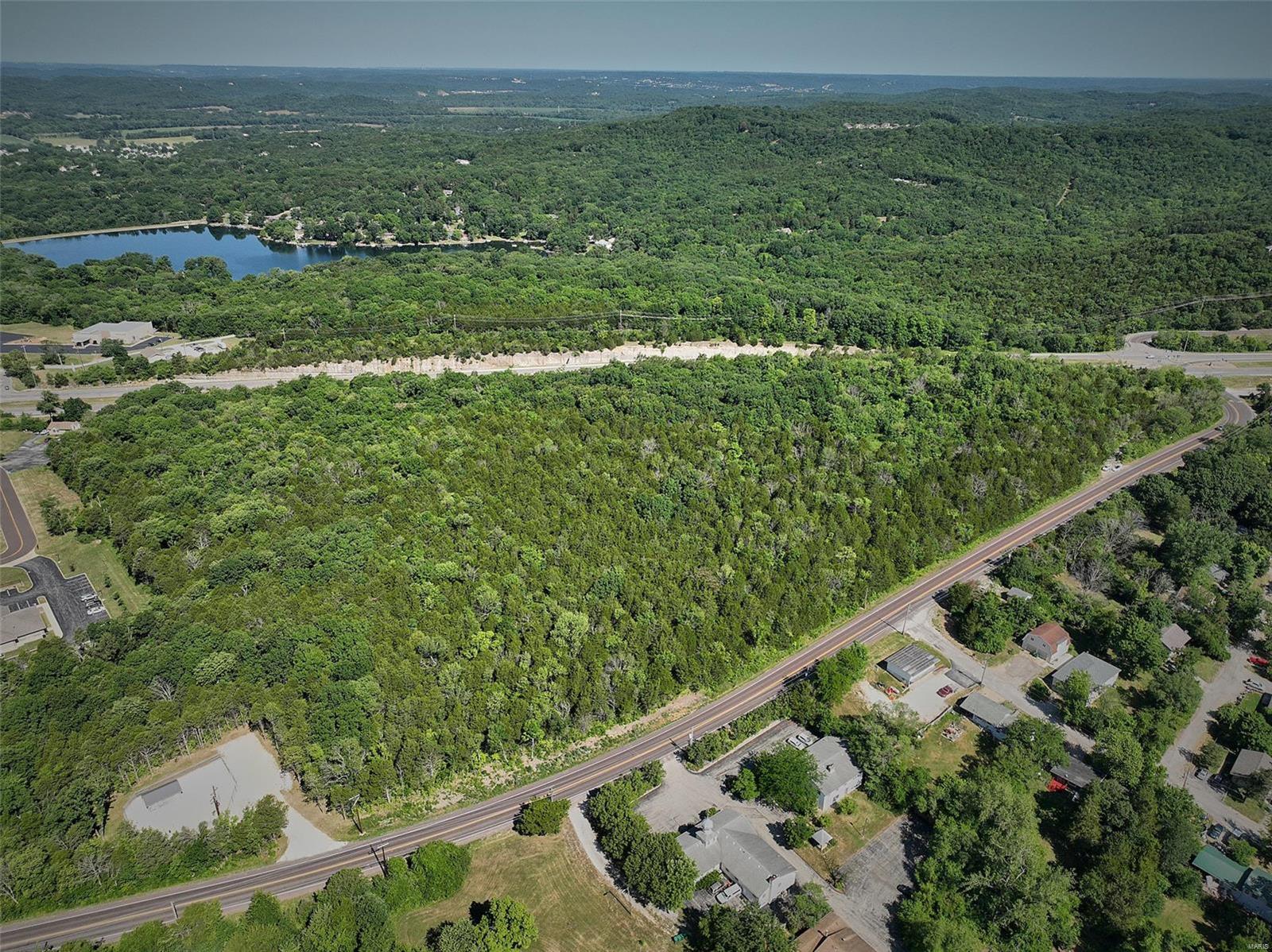
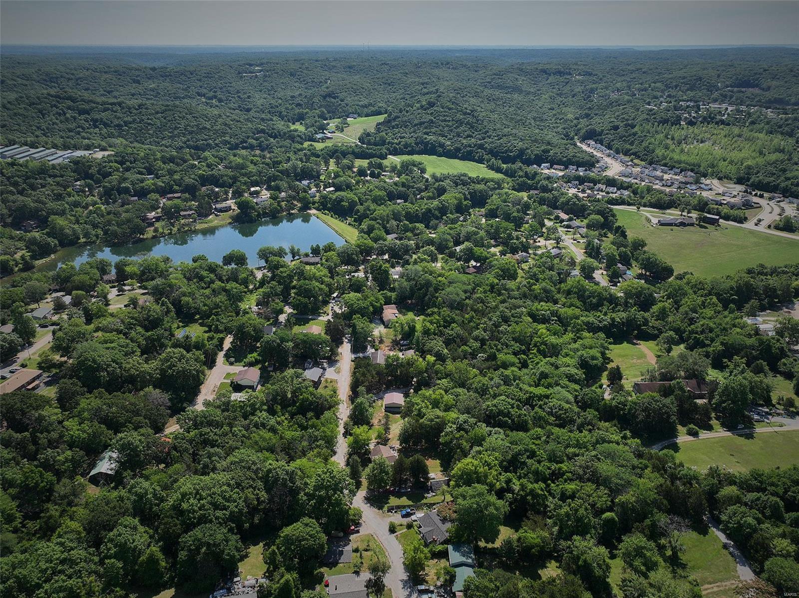
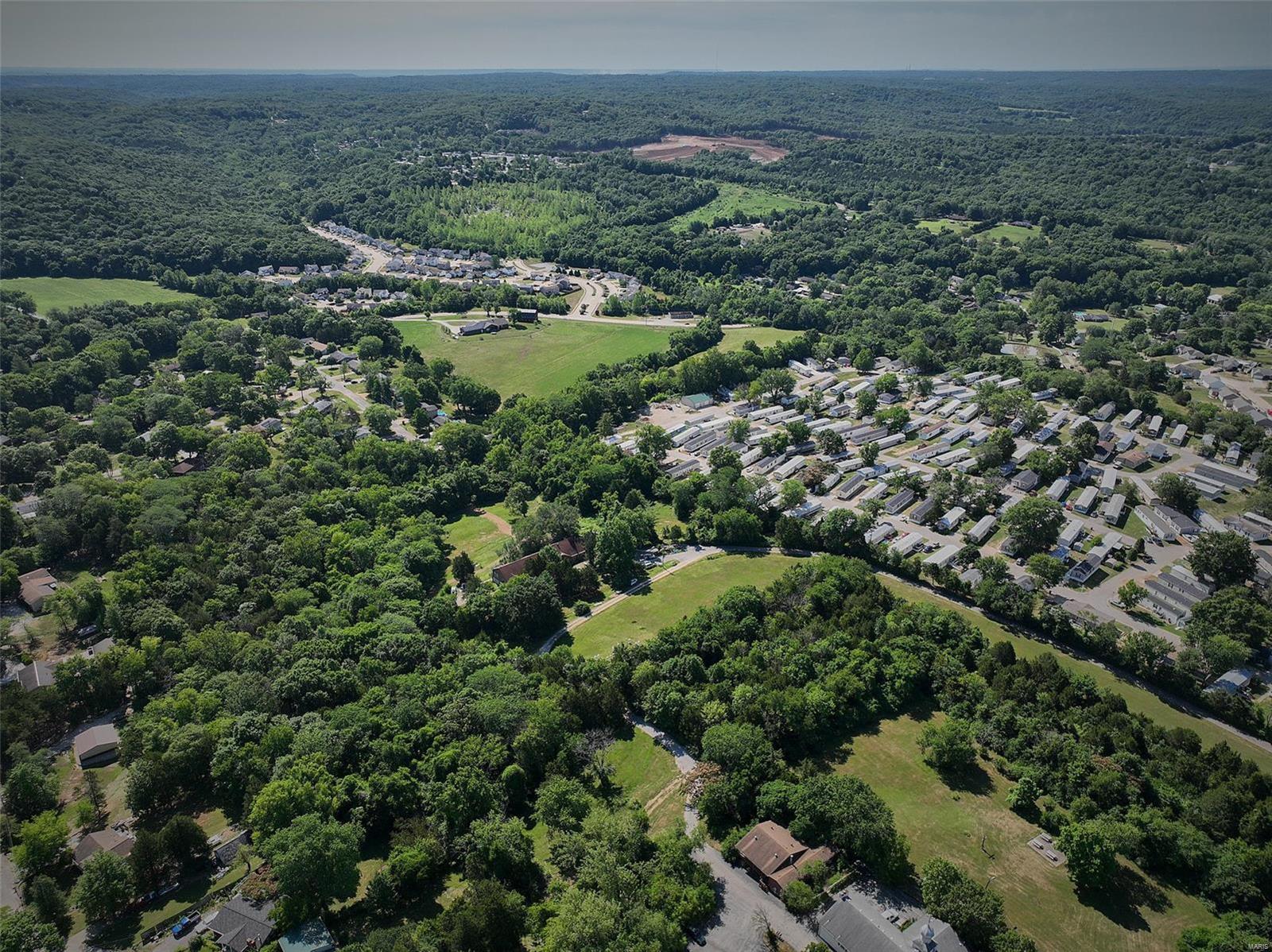
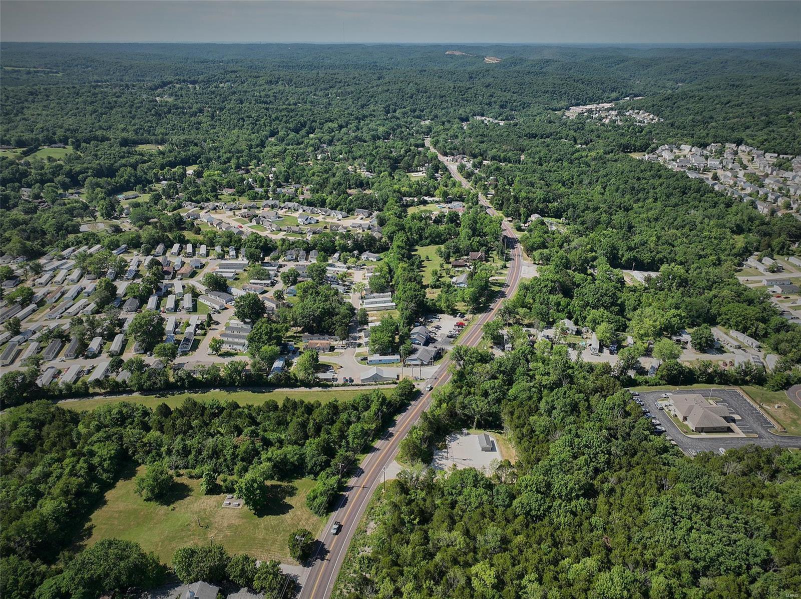
The property at the top is a 790 feet elevation and, when cleared, offers a spectacular 30 mile view. The smokestacks of the Ameren MO power plant at Labadie and the intersection of I-44 and Hwy 100 is to the left of that. See drone pictures that show views and overheads of property, The property has public water, gravity fed sewer, and natural gas available. At the top was a large house owner by an industrialist. It has been demolished. In 1990 backhoe tests showed a 3' pure dirt overlay at the top and kept increasing every 150'. At the bottom the overlay was 6-7 feet. Many years of growth have made it difficult to show. Call listing agent for suggestions. Any zoning, whether commercial, residential,, multifamily, etc. must have approval from the city of Byrnes Mill, whose office adjoins the property at the bottom. Eastbound from the bottom of property along 30 is a driveway from an old house that was demolished. MODOT might allow easement to 30PROPERTY FEATURES
PROPERTY DETAILS
Street Address: 0 Hwy 30 and Gravois Rd
City: Byrnes Mill
State: Missouri
Postal Code: 63051
County: Jefferson
MLS Number: MAR22041141
Courtesy of Lon Simmons Realty LLC
City: Byrnes Mill
State: Missouri
Postal Code: 63051
County: Jefferson
MLS Number: MAR22041141
Courtesy of Lon Simmons Realty LLC